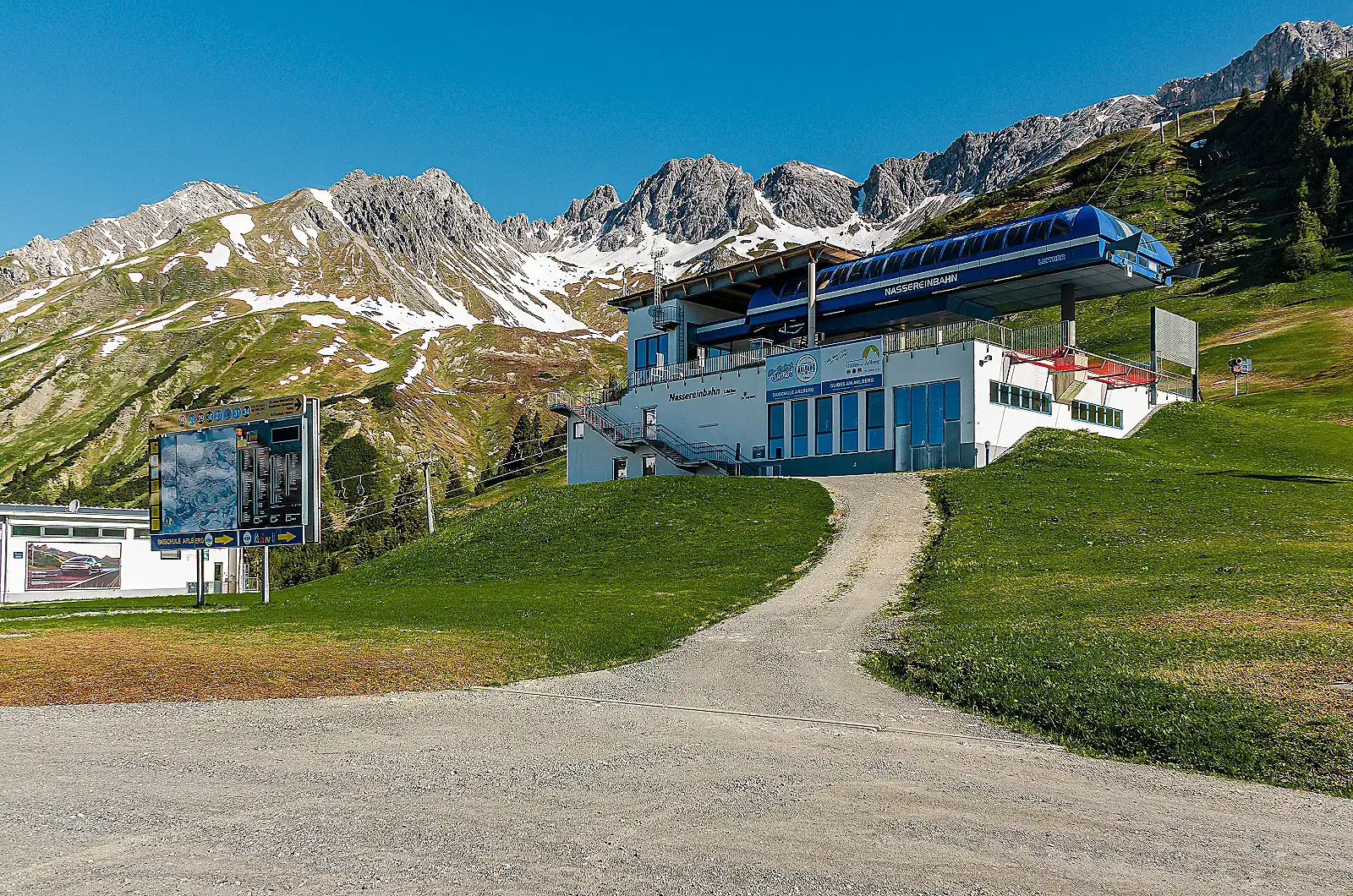
St. Anton am Arlberg is an Alpine ski resort in Austria. St. Anton am Arlberg spans from 1304 m to 2811 m above sea level. The published figures cover 300 km of piste and 85 lifts.
Early December to late April (e.g. the 2025/26 season was scheduled 3 Dec 2025 to 19 Apr 2026 per skiarlberg.at's season-times page); exact dates shift year to year with snow conditions. Nearest airport: Innsbruck Airport (INN), roughly 100 km / ~1.5 hr drive via the A12/A14. St. Anton am Arlberg has its own railway station directly on the Arlberg line, with Railjet/EuroCity/InterCity services connecting to Innsbruck, Bregenz, Zurich and Vienna.
Gondolas and chairlifts are listed above under Notable lifts. These are specifically two-station reversible aerial tramways — a distinct lift type.
Verified locations only: the resort area and its named cable car stations. We don't have precise coordinates for individual accommodation listings, so those aren't plotted here — use the booking link in the sidebar instead.
Ski School Arlberg (large multi-instructor ski/snowboard school)
Alpin Fascination freeride/touring school on Rendl
Terrain park (Stanton Park)
Winter via ferrata at Rendl
Every note below is drawn from the resort's own or an independent official publication.
300 km piste_km_total and 85 lifts are the current figures published on the official skiarlberg.at ski-resort page (covers the whole connected Ski Arlberg network: St. Anton, St. Christoph, Stuben, Lech, Zürs, Warth-Schröcken), not St. Anton alone.
English Wikipedia's 'St. Anton am Arlberg' article gives materially different figures (340 km groomed pistes, 94 lifts) attributed to older or differently-scoped data; we did not use these since they conflict with the resort's own current site.
English Wikipedia's 'Ski Arlberg' article gives a base altitude of 1,269 m for the network (likely the lowest point across all connected valleys, e.g. near Warth/Klösterle) versus 1,304 m for the St. Anton village base specifically; we report the St. Anton village figure since that is the resort in question.
No official breakdown of piste km by difficulty (blue/red/black) was found on the official site, so those fields are left null rather than estimated.
Valluga (2,811 m) is the ski area's highest point but summit access/descent is guide-only off-piste terrain, not an open groomed run; this nuance should be flagged to readers if altitude_summit_m is displayed without context.
Lift list is a representative selection (St. Anton is part of the larger Ski Arlberg network of 88 lifts); not exhaustive.
Could not independently verify night skiing at St. Anton itself; sources describe night skiing/tobogganing options in nearby Arlberg villages, not confirmed as an on-mountain St. Anton facility, so it was left out of amenities rather than guessed.
Equipment shops listed are multi-location chains (Intersport Arlberg, Sport 2000 Jennewein) rather than single storefronts, reflecting how rental is actually organized in St. Anton.
 ResortSlopes