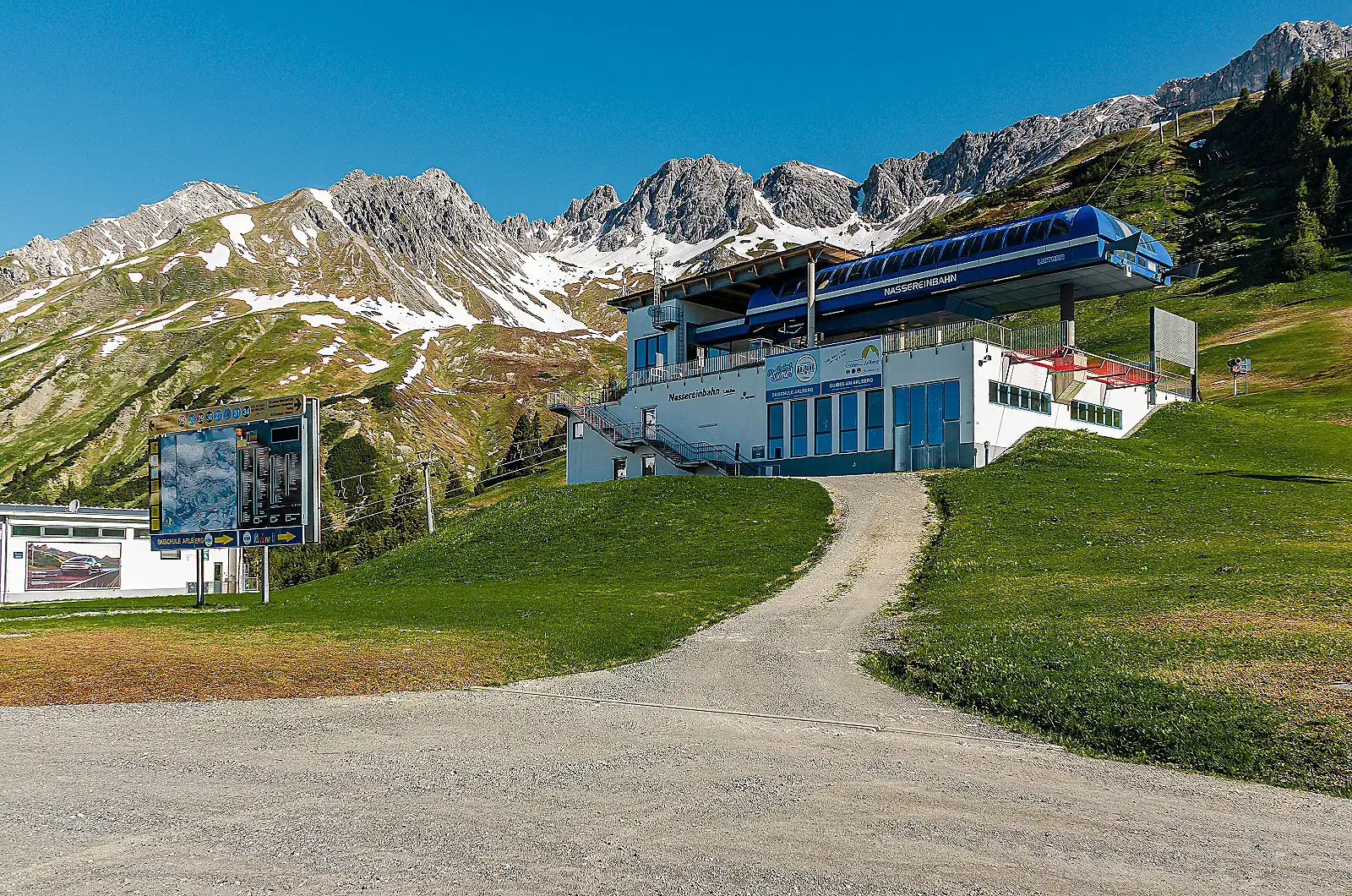
Illustratives Foto — nicht zwangsläufig dieses Skigebiet · Harry Dona / Pexels
1304–2811 m300 km Pistenlänge85 Lifte
St. Anton am Arlberg ist ein alpines Skigebiet in Österreich. St. Anton am Arlberg erstreckt sich von 1304 m bis 2811 m über dem Meeresspiegel. Die veröffentlichten Zahlen umfassen 300 km Pisten und 85 Lifte.
Anfang Dezember bis Ende April (die Saison 2025/26 war laut der Saisonzeiten-Seite von skiarlberg.at vom 3. Dezember 2025 bis 19. April 2026 angesetzt); die genauen Daten verschieben sich von Jahr zu Jahr je nach Schneeverhältnissen. Nächstgelegener Flughafen: Innsbruck (INN), etwa 100 km / ca. 1,5 Std. Fahrzeit über die A12/A14. St. Anton am Arlberg verfügt über einen eigenen Bahnhof direkt an der Arlbergbahn, mit Railjet-, EuroCity- und InterCity-Verbindungen nach Innsbruck, Bregenz, Zürich und Wien.
Pendelbahnen (Gondelbahnen ausgeschlossen)
Gondelbahnen und Sessellifte sind oben unter „Wichtige Lifte" aufgeführt. Hier sind ausschließlich Pendelbahnen mit zwei Stationen aufgeführt — ein eigener Anlagentyp.
Vallugabahn I
Galzig → Vallugagrat
556 m · HöhenunterschiedBaujahr 1954
Vallugabahn II
Vallugagrat → Valluga (2,811m)
Baujahr 1955umgebaut 2002
minor 6m discrepancy — left null rather than picking one figure; true value is in the 161-167m range
Karte des Skigebiets
Nur verifizierte Standorte: das Skigebiet selbst und seine Seilbahnstationen. Für einzelne Unterkünfte liegen uns keine genauen Koordinaten vor, sie werden daher hier nicht angezeigt — nutzen Sie den Buchungslink in der Seitenleiste.
Ausstattung
Ski School Arlberg (large multi-instructor ski/snowboard school)
Alpin Fascination freeride/touring school on Rendl
Terrain park (Stanton Park)
Winter via ferrata at Rendl
Wichtige Lifte
Lift
Typ
Galzigbahn
gondola Funitel-system gondola from the village to Galzig (2,086 m), rebuilt 2006
Vallugabahn I
cable car
Valluga II
cable car 5-person shuttle cabin to Valluga summit (2,806 m)
Rendlbahn
gondola 8-person gondola, base station near the village bus station
Jeder Hinweis unten stammt aus einer offiziellen Veröffentlichung des Skigebiets oder einer unabhängigen Quelle.
300 km piste_km_total and 85 lifts are the current figures published on the official skiarlberg.at ski-resort page (covers the whole connected Ski Arlberg network: St. Anton, St. Christoph, Stuben, Lech, Zürs, Warth-Schröcken), not St. Anton alone.
English Wikipedia's 'St. Anton am Arlberg' article gives materially different figures (340 km groomed pistes, 94 lifts) attributed to older or differently-scoped data; we did not use these since they conflict with the resort's own current site.
English Wikipedia's 'Ski Arlberg' article gives a base altitude of 1,269 m for the network (likely the lowest point across all connected valleys, e.g. near Warth/Klösterle) versus 1,304 m for the St. Anton village base specifically; we report the St. Anton village figure since that is the resort in question.
No official breakdown of piste km by difficulty (blue/red/black) was found on the official site, so those fields are left null rather than estimated.
Valluga (2,811 m) is the ski area's highest point but summit access/descent is guide-only off-piste terrain, not an open groomed run; this nuance should be flagged to readers if altitude_summit_m is displayed without context.
Lift list is a representative selection (St. Anton is part of the larger Ski Arlberg network of 88 lifts); not exhaustive.
Could not independently verify night skiing at St. Anton itself; sources describe night skiing/tobogganing options in nearby Arlberg villages, not confirmed as an on-mountain St. Anton facility, so it was left out of amenities rather than guessed.
Equipment shops listed are multi-location chains (Intersport Arlberg, Sport 2000 Jennewein) rather than single storefronts, reflecting how rental is actually organized in St. Anton.
ResortSlopes verwendet eine kleine Anzahl von Cookies, um die Website sicher zu halten und, mit Ihrer Zustimmung, zu verstehen, welche Skigebiete und Ratgeber am nützlichsten sind. Siehe unsere Cookie-Richtlinie.
 ResortSlopes