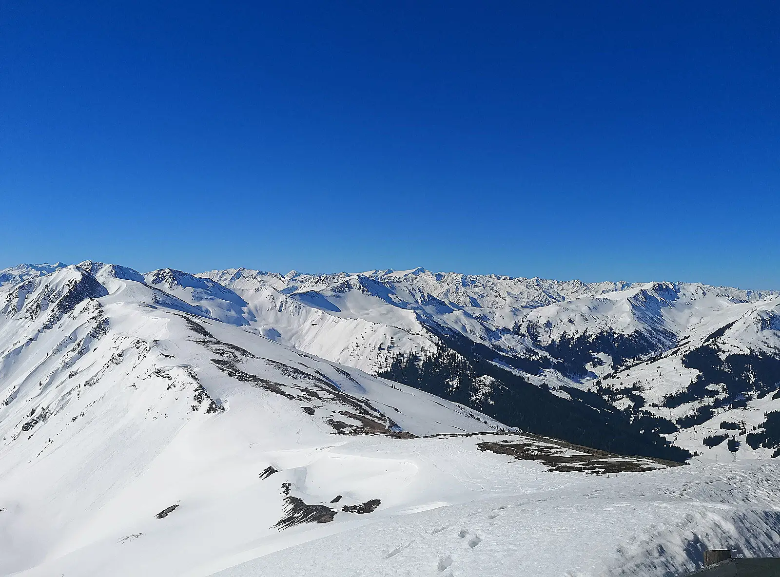
Fotografia illustrativa — non necessariamente questa stazione · Alex Koch / Pexels
1003–2096 m270 km Lunghezza piste70 Impianti
Saalbach-Hinterglemm è una stazione sciistica alpina in Austria. Saalbach-Hinterglemm si estende da 1003 m a 2096 m sul livello del mare. I dati pubblicati indicano 270 km di piste e 70 impianti di risalita.
Da fine novembre a inizio aprile, secondo saalbach.com; ad esempio la pagina della stagione 2026/27 consultata indicava dal 27 novembre 2026 al 4 aprile 2027 per lo Skicircus (soggetto a variazioni in base alle condizioni di innevamento). Aeroporto più vicino: aeroporto di Salisburgo, ~75-86 km / ~1-1,5 ore di auto (gli aeroporti di Innsbruck e Monaco sono opzioni valide ma a distanza circa doppia). Le stazioni ferroviarie più vicine si trovano sulla linea Salisburgo-Tirolo a Zell am See (~18 km), Maishofen-Saalbach, Leogang e Fieberbrunn, ciascuna con un breve trasferimento in autobus o taxi fino al comprensorio sciistico.
Piste per difficoltà
Verde
Blu
Rossa
Nera
— km
140 km
112 km
18 km
Mappa della località
Solo località verificate: l'area della stazione sciistica e le sue stazioni di funivia. Non disponiamo di coordinate precise per i singoli alloggi, quindi non sono indicati sulla mappa — usa il link di prenotazione nella barra laterale.
Servizi
Multiple ski schools operating across Saalbach, Hinterglemm, Leogang and Fieberbrunn
4 snow parks plus 1 freeride park in the Skicircus (incl. Family Park Hinterglemm, Learn-to-Ride Park Saalbach, Nitro Snowpark Leogang, Easy-Park Fieberbrunn)
Night Park Hinterglemm, illuminated Monday-Saturday until 21:30, with night skiing/freestyle sessions
Impianti principali
Impianto
Tipo
Schattberg X-press / Schattbergbahn
gondola
Kohlmaisbahn I + II
gondola 10-person gondola (Kohlmaisbahn I built 2018), direct connection through mid-station to Kohlmaiskopf
12er Kogel-Bahn I (Zwölferkogelbahn I)
gondola 10-person gondola with seat heating, replaced the 1993 8-person original, opened 2019
Ogni nota qui sotto proviene da una pubblicazione ufficiale della stazione o da una fonte indipendente.
270 km total and the 140/112/18 km blue/red/black breakdown match exactly between the official saalbach.com ski-resort page and are consistent with figures reported by independent aggregators, which is good cross-validation.
Saalbach village altitude (1,003 m, Wikipedia) differs from the ski area's own stated operating range floor of 830 m mentioned on some resort-info pages; the lower figure likely refers to the lowest connected piste/lift base (e.g. toward Viehhofen or the Leogang side) rather than Saalbach village center itself. We report the village altitude as altitude_base_m and flag this distinction.
Summit altitude: 2,096 m is the highest lift-served point cited for the ski area itself; higher peaks in the surrounding massif (e.g. Hochkogel, 2,249 m) exist but are not part of the lift-served/piste network, so we did not use them as altitude_summit_m.
No green-graded pistes exist in the Austrian blue/red/black grading system used here.
Saalbach-Hinterglemm sits within the larger Skicircus Saalbach Hinterglemm Leogang Fieberbrunn lift network; some amenities (snow parks) span the whole Skicircus rather than being unique to Saalbach-Hinterglemm village itself, and this is noted rather than presented as Saalbach-only.
Lift list favors the main Saalbach/Hinterglemm-side lifts (Schattberg, Kohlmais, 12er Kogel/Zwölferkogel, Reiterkogel); Leogang- and Fieberbrunn-side lifts were excluded as out of scope for this resort entry.
ResortSlopes utilizza un numero limitato di cookie per proteggere il sito e, con il tuo consenso, per capire quali stazioni e guide sono più utili. Vedi la nostra Informativa sui cookie.
 ResortSlopes